01Record
Bring the fragments together.
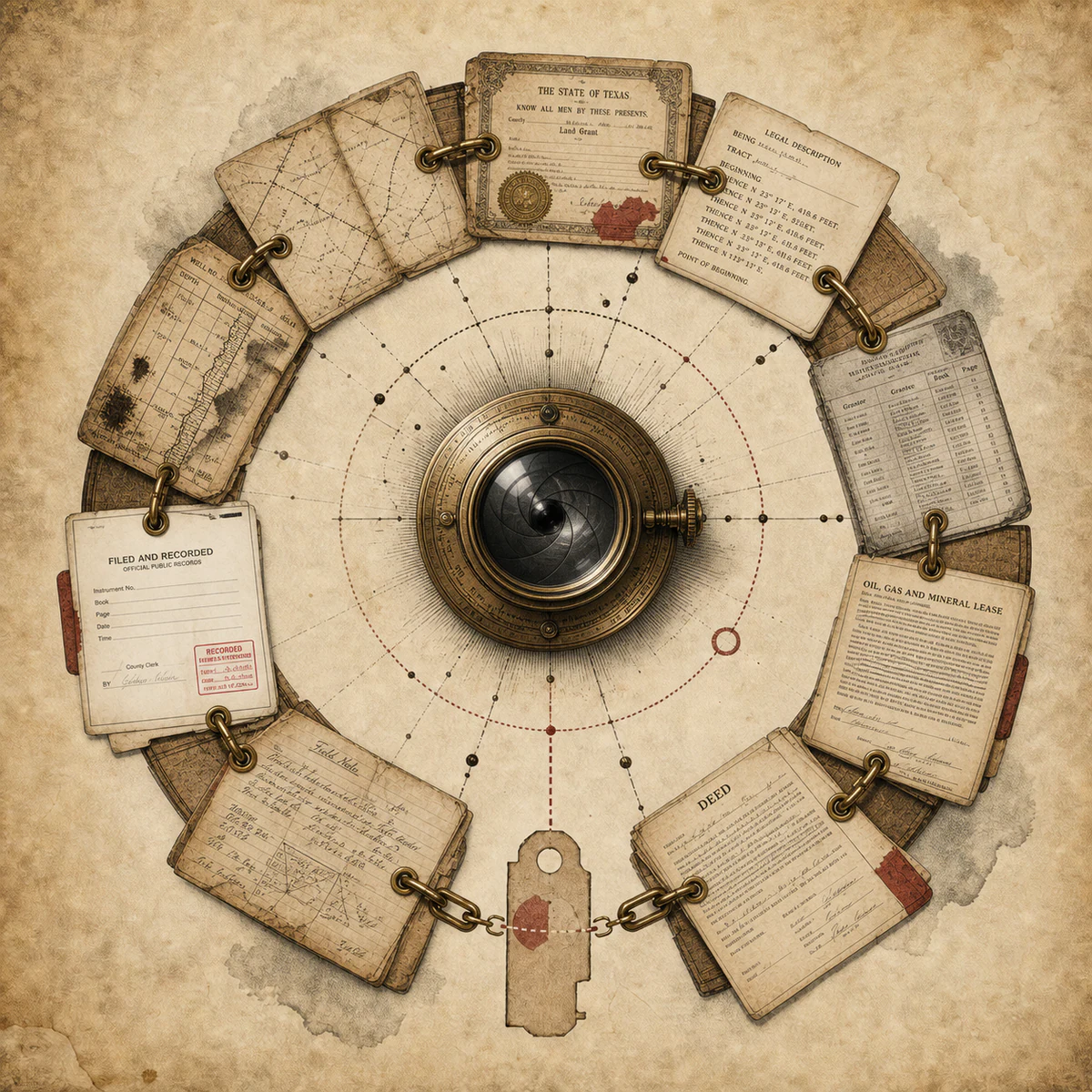
Documents, descriptions, maps, and project records keep their identity while becoming easier to inspect as one body of evidence.
Mineral rights management · GIS mapping · applied AI
Abstract Mapping brings records, maps, ownership, and grounded AI into one clear, reviewable picture—so professionals can see not only the answer, but the evidence behind it.

The living record
From courthouse page to working map, every layer keeps its place in the story.
Documents, descriptions, maps, and project records keep their identity while becoming easier to inspect as one body of evidence.
Land, tracts, boundaries, and operational context resolve into a visual picture without erasing the source behind the geometry.
Deterministic calculations and traceable relationships do the arithmetic. AI helps retrieve, explain, and connect what the system can prove.
Supported conclusions move forward. Gaps, conflicts, and consequential decisions remain visible for professional review.
Grounded intelligence
The compelling part is not a fluent answer. It is the disciplined path from a question to the records, calculations, citations, and review boundary behind that answer.
Meet G.I.D.E.O.N.“What evidence supports this ownership result?”
The answer stays attached to its record sources and deterministic calculation trace. If the support does not verify, the conclusion does not pass.
What we bring into focus
We design systems for evidence-heavy work—where information has history, geography, consequences, and no patience for a generic answer.
Purpose-built systems for title, lease, ownership, research, and land workflows where precision and provenance matter.
↗Maps that do more than decorate the answer—connecting geography, records, and operational context in one usable surface.
↗AI experiences that retrieve the right material, show their support, and make uncertainty explicit instead of confidently filling the gaps.
↗Focused tools that turn scattered, high-friction processes into reviewable systems your team can understand and control.
↗LANDroid
LANDroid is a local-first workspace for Texas oil-and-gas title, lease, ownership, research, and land workflow review. It brings records, maps, title actions, ownership math, and evidence into one auditable operating surface.

The intelligence inside LANDroid
Grounded Intelligence for Document Evaluation & Ownership Navigation.
G.I.D.E.O.N. searches supported project records, retrieves deterministic calculation explanations, and checks the support behind material claims before an answer reaches the screen.
Grounded by design
Every answer should retain a path back to the material that supports it.
Critical arithmetic belongs to deterministic systems, not improvised model prose.
Unsupported conclusions stop clearly instead of borrowing the appearance of certainty.
AI can accelerate the work without quietly becoming the authority.
Start with the hard problem
If your work is buried in documents, maps, spreadsheets, and expert judgment, let’s build the intelligence layer it deserves.
Start a conversation